Topographic & site surveys
Ground elevations and visible site features help inform grading, drainage, and site design. Discuss the coverage and detail your design team needs.
PROFESSIONAL SURVEYING
Start with the decision you need to make. Build the right survey scope around it.
Reliable existing-condition information helps project teams evaluate land, coordinate design, and identify constraints before work begins.
Ground elevations and visible site features help inform grading, drainage, and site design. Discuss the coverage and detail your design team needs.
Planning a land division or a larger development? Bring the proposed layout, property information, and project requirements to the conversation.
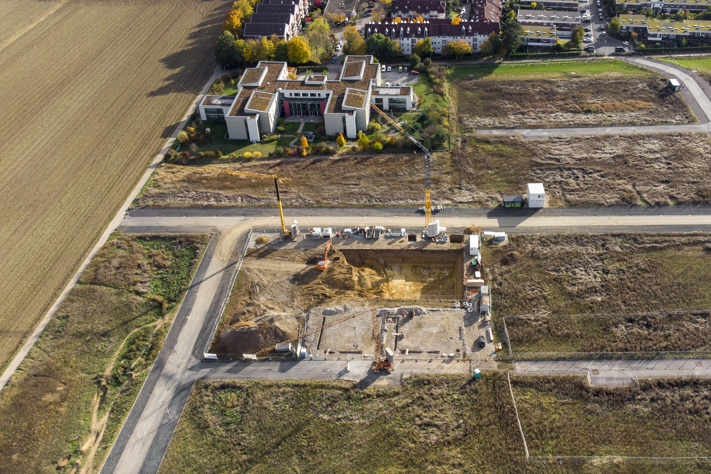
A clear scope aligns survey information with the people, sequence, and decisions driving construction.
Field layout translates design locations and elevations into references crews can use. Share current plans, schedule, and coordination requirements.
Measurements of completed work can support project documentation and comparison with the design. Identify the features and deliverables required.
Property transactions and improvements depend on understanding boundaries and the information a project requires.
Residential & property needs↗Discuss your parcel, available records, intended improvements, and questions about property limits.
If a lender, title company, or attorney has requested a survey, share their written requirements, including any ALTA/NSPS specifications, for scope review.
A CONSTRUCTION TECHNOLOGY CONVERSATION
An additional capability built around surveying.
Digital surfaces can translate project design information into models for compatible GPS/GNSS machine-control workflows. Ask about current availability, supported systems, required source files, and deliverables for your project.
Discuss modeling requirements↗LET’S GET TO WORK